Musée de Savalou
FR EN

Room VI · 6 of 7 on the tour

Land of the Hills

Beyond the legend, geography remains: 2,674 km² of hills, farmland and villages. From the twin hills of Kpataba to the sacred caiman pond of Ouèssè, this room connects the museum to the real territory — right down to planning your visit in person.

Centrepiece

The commune in maps

From the virtual museum to real-world tourism: the remarkable sites of Savalou, to explore before you come.

Indicative positions — the precise geolocation of each site will be surveyed during the field collection.

Room texts

What you should know

Provisional texts based on the project presentation document (v3.2) — awaiting approval by the royal court and the town hall of Savalou.

2,674 km² in the heart of Benin

A commune of south-central Benin and the most populous in the Collines department, Savalou covers 2,674 km² — about 2.37% of the national territory. It borders Dassa-Zoumè and Glazoué to the east, Djidja to the south, Bantè to the north, and shares about 65 km of border with Togo to the west. It is made up of fourteen districts: four urban (Aga, Agbado, Attakè, Ouessè) and ten rural, comprising seventeen town quarters and one hundred and eleven villages.

Hills that tell stories

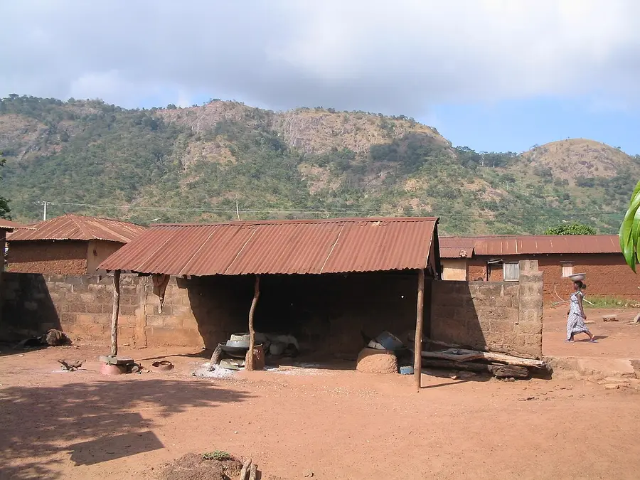
The landscape is marked by the hills and mounts that give the department its name: the twin hills of Kpataba-Savalou, Mount Sègui of Logozohè, the Monkpa range known as "Alokpasso", or the Logboso hill. This singular relief is at once a remarkable natural setting and a vessel for stories, worship and memory.

Those who live there

At the 2013 census, the commune counted 144,549 inhabitants, mainly from the Mahi and Ifè peoples, alongside the Fon, Adja, Fulani and Batammariba. The Adja-Tado group (Fon and Mahi) represents about 58% of the population, and Mahi, a dialect related to Fon, is the most widely spoken language — the one you will hear in this museum's audio guides.
The works

What this room will present

The pieces are being collected, researched or reviewed by the royal court and the town hall — each label below awaits its work.

To be collected

01 · Natural site

The twin hills of Kpataba

With the Allokpasso hill of Monkpa, they are tied to the buffalo legend: the landscape itself keeps the trace of the founding tale.

Kpataba · Monkpa

360° panorama · HD photographs · notice FR/EN

To be collected

02 · Natural site

The sacred caiman pond

In Ouèssè, a pond inhabited by caimans protected by tradition. A site where nature and the sacred are one.

Ouèssè

HD photographs · notice FR/EN

In preparation

03 · Interactive map

The fourteen districts

The commune in maps: districts, remarkable sites and routes, to move from the virtual museum to real-world tourism.

Commune of Savalou

Leaflet/OSM map · geolocation of the sites

To be collected

04 · Know-how

The crafts of the Collines

Wood, bronze, leather and beads: Savalou's workshops keep alive gestures that this room will document alongside their artisans.

Workshops of Savalou

HD photographs · artisan portraits · notices FR/EN

Preview 0.2